
In this article
To find a lost drone, first save the last known position, the time the connection was lost and the flight records. A marker on the map may show only the last point received, not the current location. Organise the search using this information and do not enter dangerous terrain to recover the equipment.
The guide below uses DJI’s Find My Drone feature as a reference. Available apps and features vary by model; consult the documentation for your setup.
Save information before changing the app
Do not delete data, uninstall the app or reset accounts in an attempt to resolve the loss. Note the warnings and save screenshots with the time and position. If the drone is still in flight or there is a connection, keep your attention on the operation and follow the model’s procedures before setting off.
Once the flight situation has ended, prepare a note with the last visual observation, the known route and the position shown in the app. If someone witnessed the incident, record their information separately so that direct observation is not confused with a hypothesis.
What Find My Drone shows
The official Find My Drone guide describes access in DJI Fly through Profile or the security settings. The map may show your position, the aircraft’s last location and the coordinates recorded before the connection was lost.
DJI clarifies that the feature does not provide real-time positioning of lost equipment. In compatible conditions, with battery remaining and the connection restored, the light and sound alert feature may help with locating it. If the battery has run out, the drone is damaged or there is no connection, this assistance may not work.
Check the specific procedure if you use goggles or another app. Do not try to apply a DJI Fly sequence to equipment that does not use that system.
Interpreting the point without treating it as certain
| Information | How to use it |
|---|---|
| Last coordinates received | Starting point for assessing the area |
| Time of last connection | Relate it to the last visual observation |
| Image at the time of the failure | Look for recognisable terrain features |
| Account from someone at the scene | Save as an observation, with position and time |
| Direction you suspect it travelled in | Keep it as a hypothesis, without replacing the data |
When opening the coordinates in another map app, check the order of the fields and the format. Visually confirm that the point is in the expected area. A copying error may lead you to search in a place unrelated to the flight.
Prepare an accessible search
Mark public routes and places you can access. If the point is on private property, ask the person responsible for access. If it is in a tall tree, on a power line, cliff or in water, do not improvise a recovery. The aircraft may be visible and still be unsafe to reach.
Avoid launching another drone on impulse to search for the first one. A second operation requires its own flight conditions, an available pilot and preparation. If you are still managing the incident, focus on preserving the data and organising appropriate help.
If you share a local request for help, use a description of the equipment and an approximate area. Do not publish the full operator number, account documents or serial numbers unnecessarily. Keep detailed information to prove ownership to anyone who may verify it.
If you recover the aircraft
Photograph its external condition without turning it on. If it has been impacted or has been in contact with water, request a diagnosis before using it again. DJI recommends servicing for recovered equipment with damage. The post-crash recovery guide helps organise the initial assessment.
Also keep the records that explain the loss of connection. To prepare for future flights, review automatic return and the pre-flight checklist. Finding the aircraft does not automatically clarify the cause of the incident.
If the search is unsuccessful
Contact official support with the model, records and a factual description. Check the procedures for your service plan, if you have one, without assuming coverage. If there are indications of theft or damage to third parties, deal with the situation through the competent authorities and keep the relevant evidence.
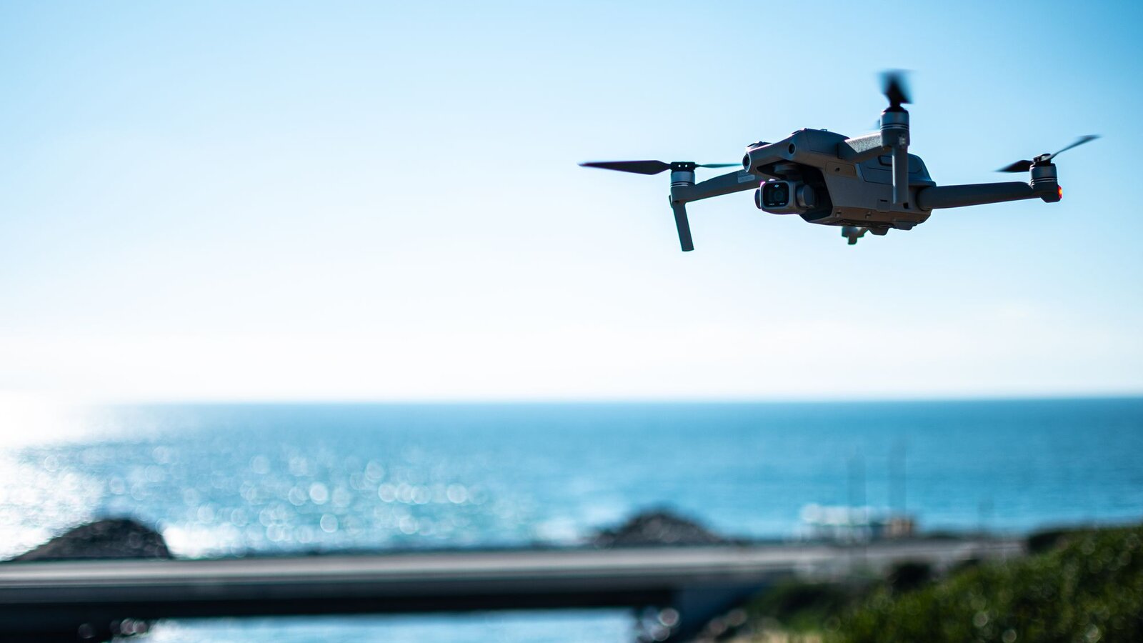
Official sources consulted on 10 October 2026. Illustrative image. The search feature does not guarantee recovery or current location.

DroneFlyBlog
Keep exploring the world of drones
Get new buying, aerial photography and drone use guides to prepare for your next purchase or flight.