
In this article
A photogrammetry project begins by defining the result: a visual model, an orthomosaic or measurements with demonstrated accuracy. These outputs are not equivalent. Having a good-looking 3D model does not prove that the distances and elevations are correct.
To learn, choose a small, accessible area where flying and image capture are legally permitted. Start with a practice project, without promising results for topographic surveys, engineering design or property boundaries.
Define what you will deliver
Write down the objective before choosing the application. If you only want to observe the shape of a structure, the assessment will differ from that for a survey intended to calculate volumes. For measurement work, define the required accuracy, coordinate system and validation method with a competent technician.
Consult the guide to drone surveying to understand the professional context. Do not advertise centimetre-level accuracy just because the application exports numbers to many decimal places.
Check the equipment and application
Check whether the planning application supports the exact drone, controller, operating system and firmware. Then confirm that the processing programme produces the intended result in the edition you have. An application capable of creating a 3D mesh may not include the workflow needed for a georeferenced orthomosaic.
The comparison of Agisoft Metashape editions lets you check feature differences. Use it as an example of the kind of check you should make for any programme, without assuming that a tutorial for the Professional edition works in full in another edition.
Plan the capture without exceeding flight limits
Check geographical zones, image capture authorisations and whether the entire route can be completed while complying with the legal conditions. In the open category, the general rule is to remain within 120 metres of the surface and maintain the applicable visual contact. An automatic mission does not remove these requirements. Consult the EASA frequently asked questions and the flight zones in Portugal.
Technical software recommendations may have been written for operations under a different regulatory framework. If a capture procedure requires a height that your operation does not permit, redesign the survey or obtain the appropriate regulatory guidance. Do not adopt that height just because it appears in a tutorial.
Photographs with overlap and detail
The Agisoft aerial capture recommendations indicate at least 80% forward overlap and 60% side overlap as a guide. The geometry, terrain and surfaces may require different planning. Check that there is also useful coverage at the edges of the area.
Avoid blurry photographs or a sequence in which the exposure changes sharply. Stop to assess sample images before completing all the passes. Shiny surfaces, water and moving vegetation can make reconstruction more difficult. For façades, assess whether oblique photographs are needed in addition to vertical images.
Organise and process the originals
- Copy the original files and keep a second copy.
- Separate sessions and remove images unrelated to the survey from the sequence.
- Check sharpness, coverage and metadata before starting processing.
- Follow the tutorial for the version used to align the photographs and assess coverage.
- Enter the references and carry out the steps needed for the chosen output.
- Review the result before exporting and keep the project saved.
The official Metashape tutorials include workflows for orthomosaics, elevation models and control references. Do not use an old sequence of menus as proof that the installed version has exactly the same options.
Validate with independent points
Control points used for adjustment and check points have different functions. In the official workflow with GCPs, Agisoft distinguishes between points used as control and those used to check the result. The assessment should not depend only on the points that helped adjust the model.
Record the source and quality of the coordinates. If you cannot yet demonstrate the accuracy, identify the output as an exercise or visualisation, without presenting it as a validated survey for measurement.
Errors to look for before delivery
Check for holes, distorted surfaces, alignment between passes, duplicate edges and areas without coverage. State the area, capture date, coordinate system, processing and limitations in the report. Restrict access to images that include people or properties and agree with the client how long the originals will be kept.
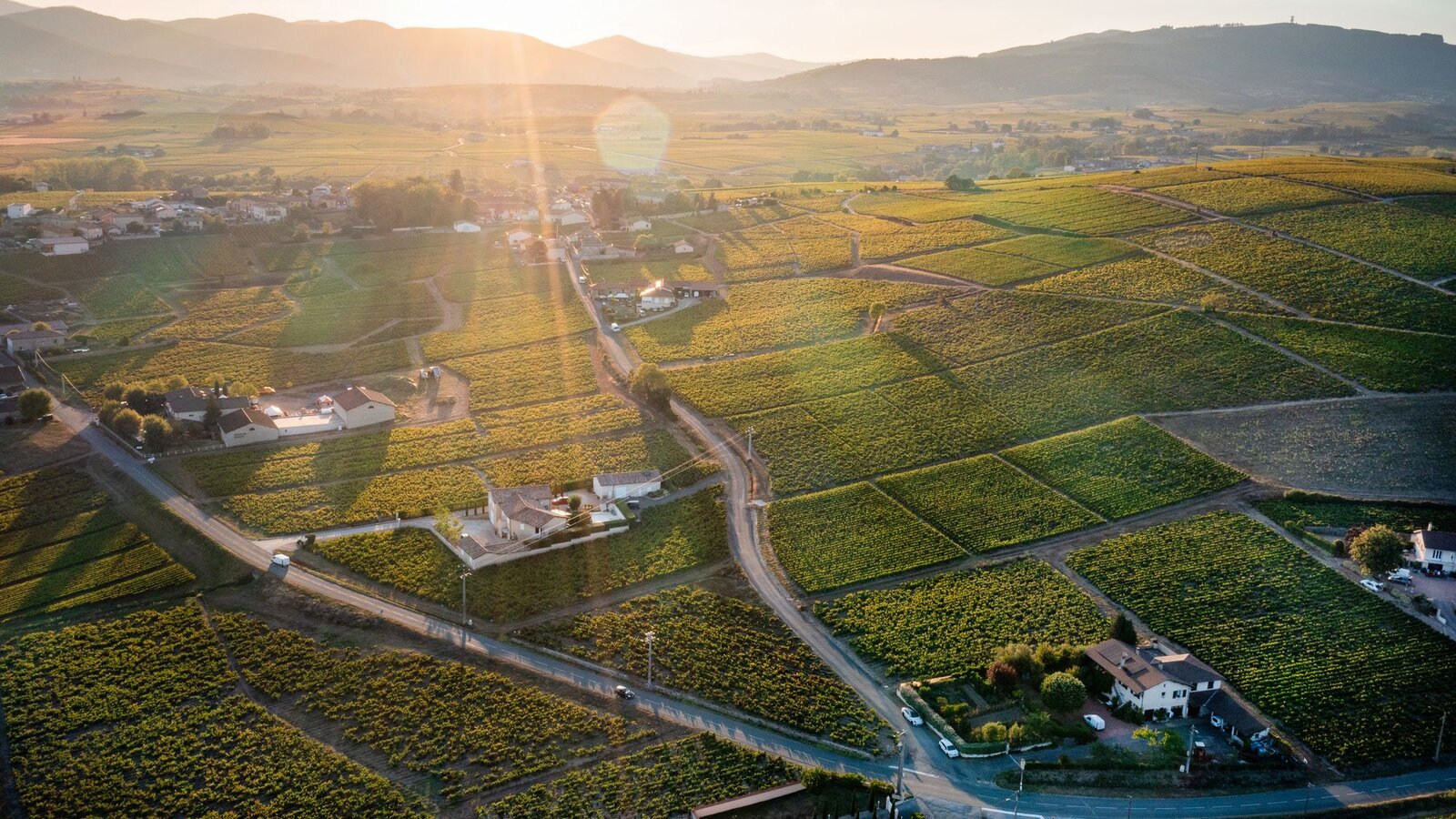
Official sources consulted on 10 October 2026. Learning guide, with no accuracy results or tests of our own. Illustrative aerial image.

DroneFlyBlog
Keep exploring the world of drones
Get new buying, aerial photography and drone use guides to prepare for your next purchase or flight.