
In this article
To travel with a drone to Madeira or the Azores, prepare separately for battery transport, the regulatory framework for the flight, image capture and the environmental rules at the location. A landscape appearing in another pilot’s video does not prove that you can repeat the operation.
This guide helps you organise your trip. It does not present viewpoints or trails as places where flying is automatically authorised. Conditions depend on the area, date, operation and decisions of the competent authorities.
Before booking a filming session
List the island, the places you intend to visit and the purpose of the images. For each operation, identify where you can take off, the airspace required and the access conditions. Keep the coordinates for official enquiries, without publicising them as a “permitted spot” before checking the regulatory framework.
Consult the geographical flight zones in Portugal and prepare the image-capture authorisations with the AAN. If an operation depends on several decisions, do not promise delivery of aerial images before obtaining them.
Madeira: consult the IFCN and the Simplifica platform
The Institute of Forests and Nature Conservation provides a drone flight authorisation service through the Simplifica platform. Consult the service to confirm the requirements applicable to the area you intend to visit.
Prepare the location details, dates, purpose and requested documentation. Read the decision issued and check that it corresponds to the planned route. Authorisation to access a space or take part in an activity should not be confused with authorisation to use a drone.
If you change your itinerary because a trail is closed or the weather does not allow the visit, check the new location before moving the filming there. Do not assume that a decision relating to one area applies to every point on the island.
The Azores: check the area and purpose
The regional platform provides a form for capturing photographs and filming with drones for leisure purposes in areas of the Regional Network of Protected Areas and areas covered by coastal zone management plans. If the purpose is commercial, confirm the relevant procedure with the regional authority.
Use the information from the Natural Parks of the Azores to identify the relevant areas. Do not present work for a client as a leisure activity in order to use a different form.
Do not default to the mainland procedure
The ICNF form for flights in protected areas clarifies that the body has no jurisdiction in the Autonomous Regions and refers applicants to the regional authorities. This distinction avoids sending the application to the wrong body and assuming that silence means authorisation.
| Preparation stage | What to keep |
|---|---|
| Operator and pilot | Applicable proof and aircraft identification |
| Airspace | Zone conditions and necessary authorisations |
| Image capture | Relevant AAN decision |
| Nature conservation | Regional decision and area conditions |
| Transport | Airline rules for batteries and equipment |
Terrain, wind and return location
Plan a short operation with alternatives. A sheltered take-off does not show that the whole route will have the same conditions. Assess the wind and visibility along the route, without relying on the weather app as the only check of the terrain.
Confirm the return point and changes in elevation. The height shown relative to take-off does not, in itself, describe the distance from the surface throughout the flight. The general 120-metre rule in the open category continues to apply, together with local restrictions. Consult the RTH preparation guide.
Do not take off from a point where an emergency landing would create a risk to people or force you to enter an area with dangerous access. If conditions worsen, end the operation; the fact that the flight is authorised does not mean it should take place.
Batteries, images and contingency plan
Check the rules of the airline actually operating each flight, including connecting flights. The batteries on aircraft guide uses TAP as a reference, without replacing consultation with another carrier. Make copies of the documents and protect files that include identifiable people.
Take an alternative for photography from the ground. That way, a refusal, closure or unfavourable wind will not lead you to improvise a flight in unsuitable conditions.
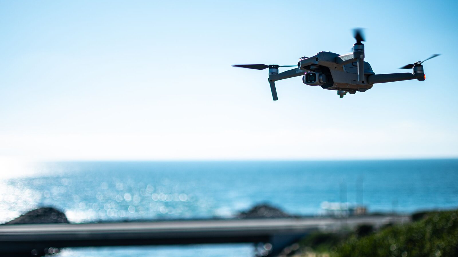
Official sources consulted on 10 October 2026. Check restrictions and services before travelling. Contextual featured image, not attributed to a location in Madeira or the Azores.

DroneFlyBlog
Keep exploring the world of drones
Get new buying, aerial photography and drone use guides to prepare for your next purchase or flight.